Africa
Map
Tables
Charts
Country profiles
Country profiles present national-level data of large-scale land acquisitions and transactions including who the investors are, what the aim of the investment is, who the former owner was and what the land was previously used for, and what the potential benefits and impacts of the land deals are.
By making this information available, the Land Matrix hopes to enhance broad engagement and data exchange, facilitating the continuous improvement of the data. Find out how to get involved here .
Download country profiles for:
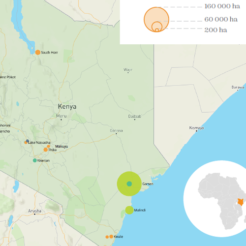
Country profile: Kenya
Of the total land area of Kenya, only around 10% is classified as arable land, with the 14 recorded concluded deals in the Land Matrix database equalling just 0.46% of the total land area. Although this is a relatively small land footprint, these deals may still have significant implications for …
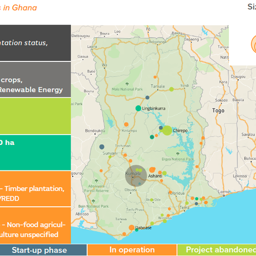
Country profile: Ghana
Since large-scale land acquisitions (LSLAs) cover less than 9% of Ghana’s 4.7 million hectares of arable land, it may not seem like they would have a significant impact on the country’s agricultural landscape. However, their impact in fact goes far beyond the land footprint only, through their use of water …
Profil pays le Madagascar
Ce profil pays présente les données de la Land Matrix pour et comprend les acquisitions de terres à grande échelle le Madagascar.
News & publications
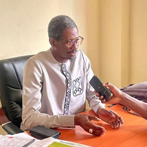
Guinée/Problématique d’acquisitions foncières à grande échelle : lancement d’un processus de collecte de données pour l’identification des terres agricoles
L’ong ACORD-Guinée, en collaboration avec ses partenaires de l’Institut Sénégalais de Recherche Agricole (ISRA-BAME), a procédé à la présentation d’un outil de collecte de données pour l’identification et la caractérisation des Acquisitions de Terres à Grande Échelle (ATGE). La plateforme dénommée Land Matrix vise à identifier, à collecter et à …
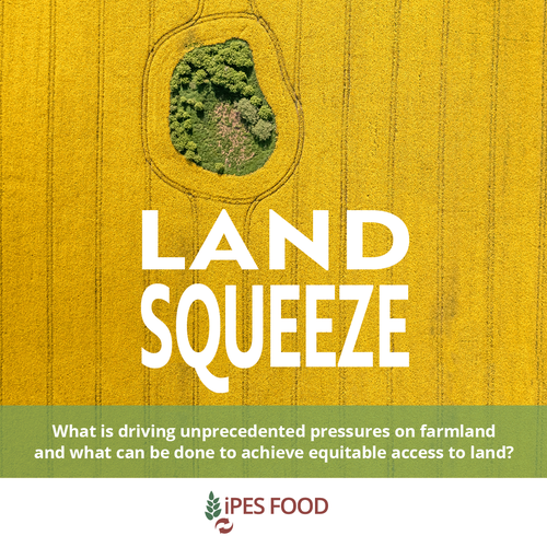
Land Squeeze: The hidden battle for Africa’s soils
Land grabbing is not just back with a vengeance. It is taking on new guises such as carbon offsets, green hydrogen schemes, and other “green grabs”. In recent years, Africa has been at the epicentre of an alarming global trend: the land squeeze. The 2007-8 global financial crisis unleashed …
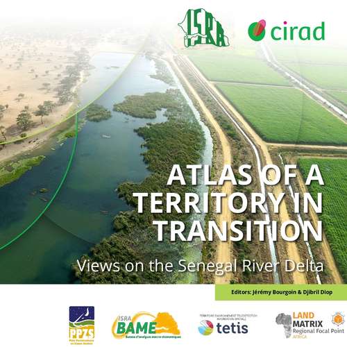
Atlas of a territory in transition: A look at the Senegal River delta
The Senegal River Valley has a clear agricultural vocation. Developed by riverside populations for decades, its biophysical conditions offer significant potential for hydro-agricultural, fisheries, and pastoral development. The delta, which forms the western part of the region, is a unique area. Since the 1960s, public authorities have focused on supporting …